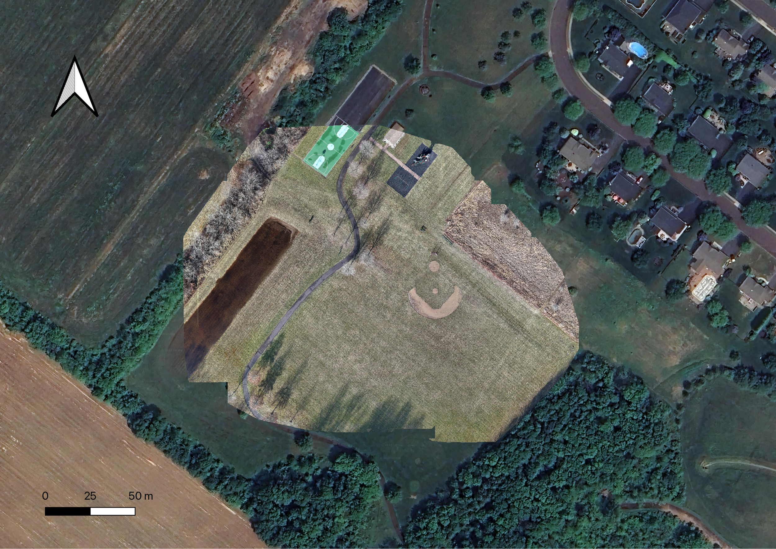
The imagery comparison between current drone footage and third-party satellite imagery underscores a significant difference in terms of accessibility, resolution, and real-time data collection. Drones can be deployed quickly, offering high-resolution, localized views of a specific area. This means they can capture up-to-date imagery almost immediately, making them ideal for situations that require fast assessments or response, such as surveying construction sites, monitoring crops, or inspecting infrastructure.